Back to Weather

5-day forecast / Plano, TX

WednesdaySunny104° / 79° 3%
ThursdaySunny99° / 79° 1%
FridayMostly Sunny99° / 82° 2%
SaturdayMostly Sunny100° / 83° 2%
SundaySunny102° / 83° 1%

Extreme Heat Warning Active in Plano as Temperatures Soar to 104F - Jul 22, 4 PM

Plano weather, updated every four hours — local forecasts you can trust.

An Extreme Heat Warning is in effect for Plano, TX, with heat index values reaching 116F today. Residents are urged to take precautions as dangerous heat persists through the afternoon.

Lena Zimmer

July 22, 20262 min read

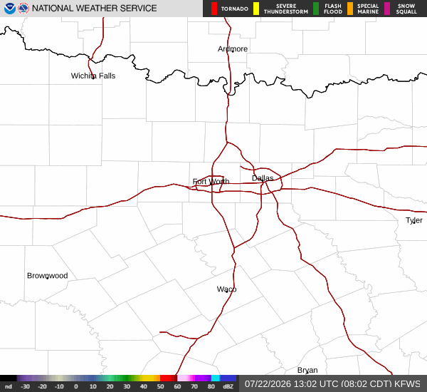
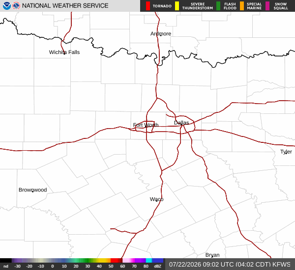
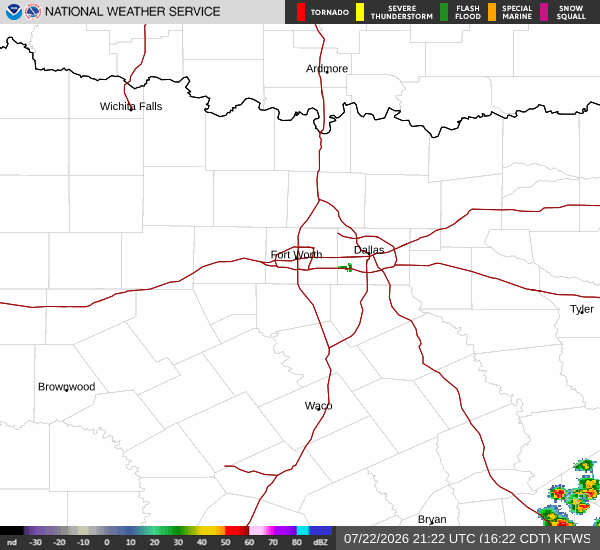
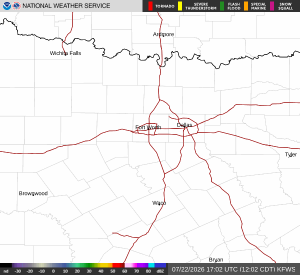
National Weather Service radar for North Texas (KFWS)

*As of Jul 22, 4 PM local time.*

Dangerous Heat and Active Alerts

Plano, TX is currently under an Extreme Heat Warning, a severe alert issued by the National Weather Service. This warning highlights the immediate danger posed by the current weather conditions, where the air temperature stands at 104F. However, the heat index, or what it actually feels like, is a scorching 111F due to the combination of heat and humidity.

The relative humidity is at 32%, with a dew point of 68F. Winds are blowing from the northeast at 10 mph, with gusts reaching 13 mph, under a clear sky.

In addition to the Extreme Heat Warning, which is in effect until later this evening, a Heat Advisory is also active. This moderate alert extends into tomorrow night, signaling that dangerous heat will persist beyond the current warning period. Furthermore, an Air Quality Alert is currently in place, adding another layer of concern for residents with respiratory sensitivities.

These alerts underscore the need for vigilance as the region experiences prolonged periods of intense heat.

Forecast for Today and Tomorrow

Today, the sky will remain sunny with a high near 104F. The National Weather Service forecasts heat index values as high as 116F during the peak hours. Northeast winds will range from 10 to 15 mph.

The chance of precipitation is minimal at just 3%. Temperatures will drop to a low near 79F tonight, with skies becoming mostly clear. Overnight, temperatures may rise slightly to around 81F, with heat index values remaining high at 113F.

Winds will shift to the east-northeast at 5 to 10 mph.
Tomorrow, conditions will remain sunny with a high near 99F. While this is a slight decrease from today, the heat index will still reach 107F. East-northeast winds will pick up to 10 to 15 mph, with gusts as high as 25 mph.

The chance of rain is negligible at 1%. Temperatures will fall to a low near 79F tomorrow night, with skies mostly clear and overnight temperatures rising to around 81F. The heat index will remain elevated at 104F.

Safety Reminders

Given the Extreme Heat Warning and the high heat index values, it is critical to stay hydrated and limit outdoor exertion, especially during the midday hours. Check on neighbors, particularly the elderly and those without air conditioning. Never leave people or pets in parked vehicles. With the additional Air Quality Alert, individuals with respiratory issues should consider limiting prolonged outdoor activities.

National Weather Service radar for North Texas (KFWS)

Sources

https://radar.weather.gov

https://api.weather.gov

https://open-meteo.com

Share

Lena Zimmer

Lena Zimmer covers weather, storms, and seasonal life around Plano.

Related Stories

More in Sport