Back to Weather

5-day forecast / Plano, TX

WednesdayScattered Showers And Thunderstorms93° / 74° 30%
ThursdayShowers And Thunderstorms80° / 71° 81%
FridayScattered Showers And Thunderstorms81° / 67° 52%
SaturdayScattered Showers And Thunderstorms79° / 66° 53%
SundayChance Rain Showers81° / 65° 29%

Plano Weather: Flood Watch Active Amid Heavy Rain and Thunderstorms - Sep 30, 2 PM

Plano weather, updated every four hours — local forecasts you can trust.

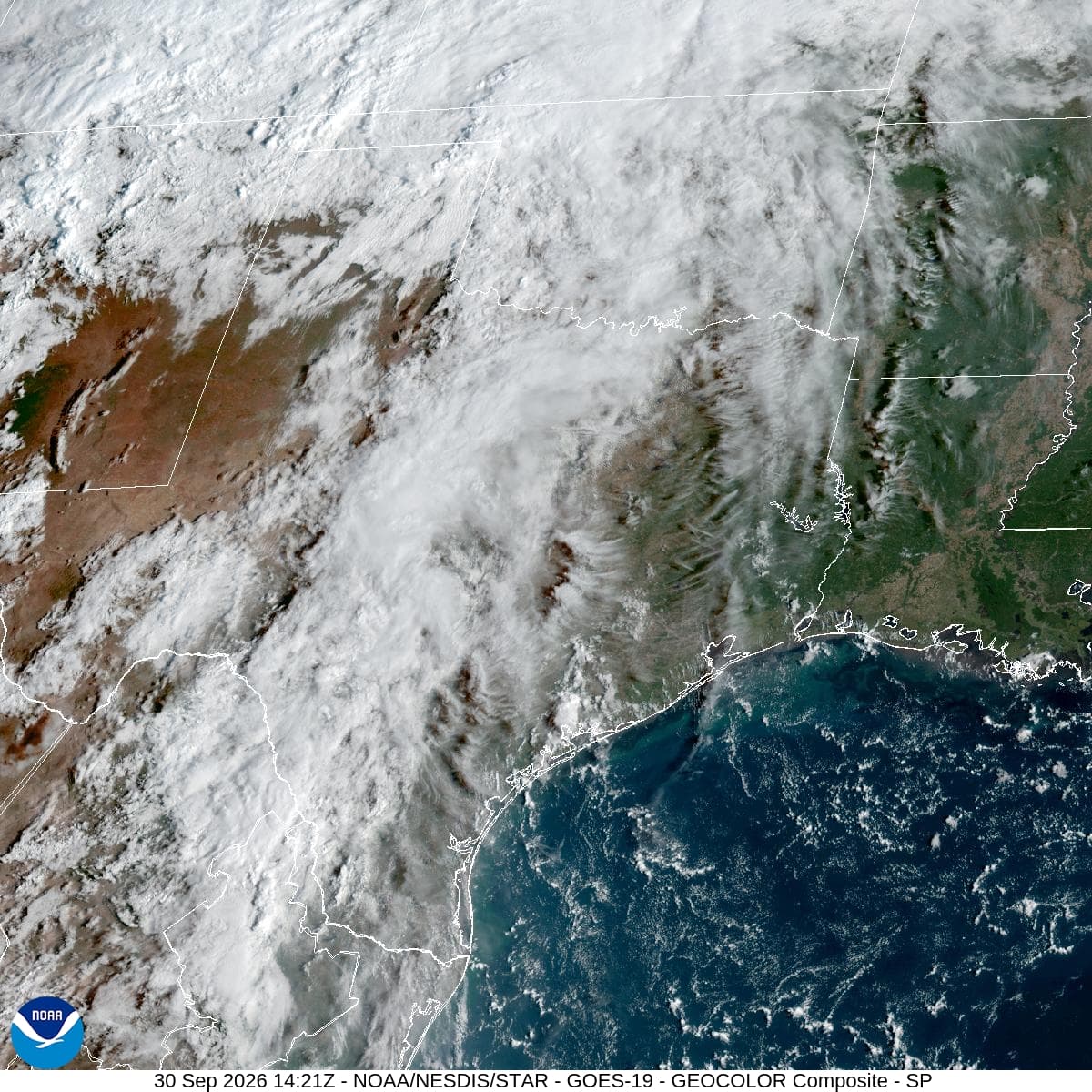
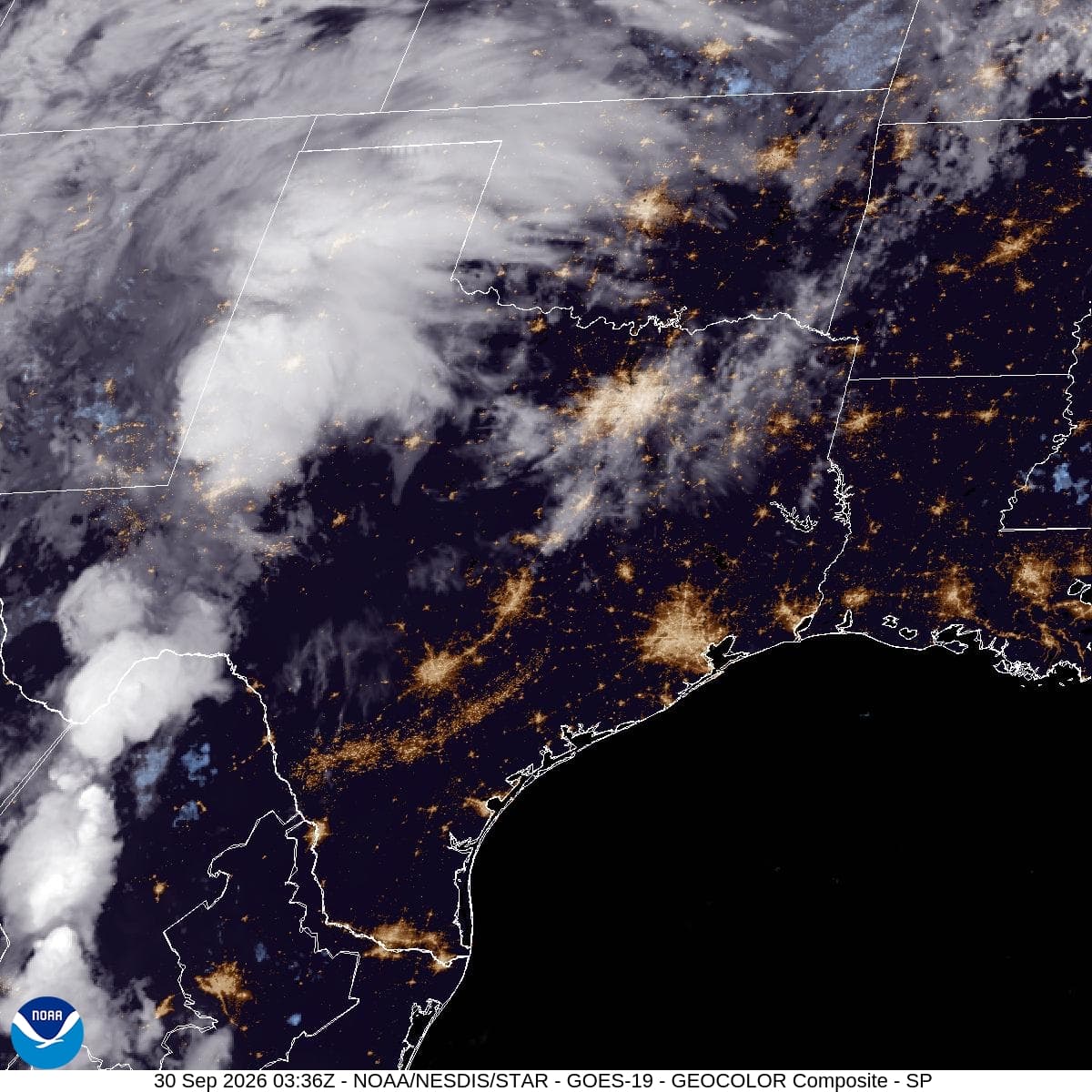
A severe Flood Watch is in effect for Plano. Expect scattered showers and thunderstorms today, with significant rainfall totals possible tonight and tomorrow. Stay alert for potential flooding.

Lena Zimmer

September 30, 20262 min read

National Weather Service radar for North Texas (KFWS)

*As of Sep 30, 2 PM local time.*

Current Conditions and Immediate Outlook

A severe Flood Watch is currently active for the Plano area, signaling a heightened risk of flooding due to expected heavy rainfall. As of this afternoon, the air temperature stands at 86 degrees Fahrenheit, though it feels like 89 degrees. Relative humidity is at 55 percent, with a dew point of 68 degrees.

Winds are blowing from the south at 9 miles per hour, with gusts reaching 32 miles per hour. The sky remains cloudy, setting the stage for the wet weather ahead.

Today and Tonight

Residents should prepare for isolated rain showers before 4 p.m., transitioning into scattered showers and thunderstorms later in the day. The high temperature will reach near 93 degrees, with heat index values potentially climbing to 99 degrees. The chance of precipitation is 30 percent, with new rainfall amounts expected to be less than a tenth of an inch.

Tonight, conditions will worsen as scattered showers and thunderstorms occur before 1 a.m., followed by more widespread showers and thunderstorms. The low temperature will hover around 74 degrees, with a chance of precipitation rising to 80 percent. Rainfall totals between three-quarters of an inch and one inch are possible, contributing to the active flood watch.
Tomorrow and Safety Reminders

Tomorrow will bring continued wet weather, with showers and thunderstorms expected before 4 p.m., followed by scattered storms. The high will drop significantly to near 80 degrees, with a precipitation chance of 80 percent. Rainfall amounts between one and two inches are possible, which may exacerbate flooding risks.

Given the severe nature of the active alert, it is crucial to stay informed and avoid driving through flooded areas. Monitor local updates and take necessary precautions to ensure safety during this period of heavy rain and potential flooding.

National Weather Service radar for North Texas (KFWS)

Sources

National Weather Service radar

National Weather Service forecast data

Open-Meteo weather data

Share

Lena Zimmer

Lena Zimmer covers weather, storms, and seasonal life around Plano.

Related Stories

More in Sport

Sport

Dallas’s Touchback Choice Put Coordination Under the Microscope

Brian Schottenheimer’s Tuesday explanation of the Cowboys’ late loss to Baltimore makes the kickoff a fair target for criticism, while still giving Lamar Jackson and Zay Flowers credit for the pass that made the difference.

Una VargasSeptember 30, 20263 min read